On or near this day, the expedition moves past limestone walls that look like they were made by master masons. The current strengthens and at the Salt River, a “smart whirlpool” forms.
Limestone Walls
Limestone Rocks, Ohio River
(created from an original sketch)
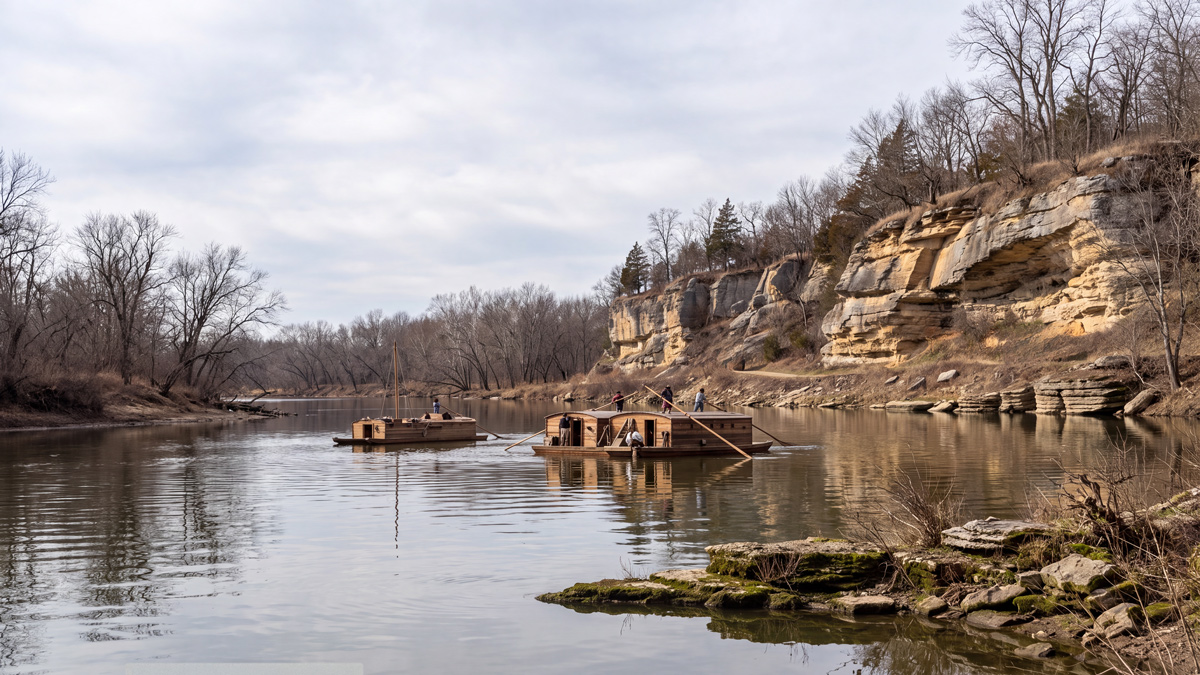
Generated from an original sketch by Thomas Kelah Wharton (1814–1862). Courtesy New York Public Library digital collections, Manuscripts and Archives Division. View the original at digitalcollections.nypl.org/items/be83d9d0-0bbe-0133-e55e-58d385a7b928.
Written on the original sketch: “Limestone Rocks / Ohio River / Novr. 30th. 1853 / 4 P.M. / J. K. Wharton”
in many places for about a mile in length there is a regular Wall to support the bank as if built of the first hewn stone.
—Eliza House Trist, 5 June 1784[1]The Travel Journal of Eliza House Trist 1783–84, Karen A. Chase, ed. (Richmond, Virginia: 2024), 42.
At the White Cliffs on 31 May 1805, Lewis also remarked on walls that appeared to be made by master masons:
As we passed on it seemed as if those seens of visionary inchantment would never have an end; for here it is too that nature presents to the view of the traveler vast ranges of walls of tolerable workmanship
—Meriwether Lewis, 31 July 1805
Strong Current
The current of the Ohio now carried us five miles an hour, passing settlements on the right every mile with a range of picturesque hills behind them.
—Fortescue Cuming, 12 May 1808[2]Fortescue Cuming, Sketches of a Tour to the Western Country: Through the States of Ohio and Kentucky, a voyage down the Ohio and Mississippi rivers, and a trip through the Mississippi territory, and … Continue reading
In the past five years, Thomas Rodney’s ‘wilderness’ (see October 26, 1803 had become a river with many settlements. See also Louisville to Fort Massac.
Rocky Precipices
Twenty-five miles from the falls, we passed Salt: river, about eighty yards wide, on the left, with some neat settlements on each side of it, and also on the opposite bank of the Ohio, which latter bank is overhung by some very high rocky precipices.
—Fortescue Cuming, 12 May 1808[3]Ibid.
Salt River Whirlpool
[W]e passed the mouth of the Salt River . . . . There is an ugly bar on the NW shore opposite the mouth of this river. This is a fine river and a strong current out of it so as to form a smart whirlpool at its junction with the Ohio.
—Thomas Rodney, 20 October 1803[4]Dwight L. Smith and Ray Swick, ed., A Journey Through the West: Thomas Rodney’s 1803 Journal from Delaware to the Mississippi Territory (Athens: Ohio University Press, 1997), 127–28.
Experience the Lewis and Clark Trail
The Lewis and Clark Trail Experience—our sister site at lewisandclark.travel—connects the world to people and places on the Lewis and Clark Trail.
Plan a trip related to October 27, 1803:

Notes
| ↑1 | The Travel Journal of Eliza House Trist 1783–84, Karen A. Chase, ed. (Richmond, Virginia: 2024), 42. |
|---|---|
| ↑2 | Fortescue Cuming, Sketches of a Tour to the Western Country: Through the States of Ohio and Kentucky, a voyage down the Ohio and Mississippi rivers, and a trip through the Mississippi territory, and part of West Florida, commenced at Philadelphia in the winter of 1807… (Pittsburgh: Cramer, Spear, & Eichbaum, 1810), 236. |
| ↑3 | Ibid. |
| ↑4 | Dwight L. Smith and Ray Swick, ed., A Journey Through the West: Thomas Rodney’s 1803 Journal from Delaware to the Mississippi Territory (Athens: Ohio University Press, 1997), 127–28. |